top of page


FARM FROM A DIFFERENT
POINT OF VIEW
SERVICES
01
High definition aerial photographs of your farm.
Efficient and intelligent solutions for various crops.
Create a 3D map of a land mass from aerial photos.
ABOUT


02
ABOUT
WE TAKE FARMING TO THE NEXT LEVEL
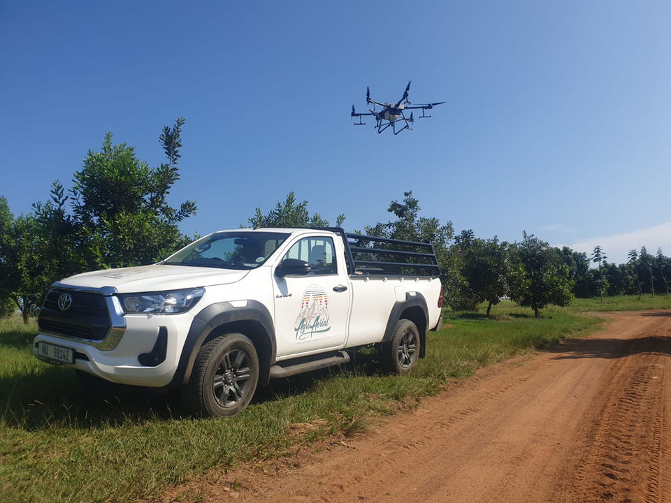
IMPROVED FARMING INITIATIVES USING CROP-SPRAYING DRONES
Our mission is to help farmers reduce costs and increase yields. By incorporating crop-spraying with intelligent mapping, spraying can be targeted. Drone crop-spraying reduces operational costs and environmental impact whilst ensuring full and precise coverage with GPS autonomy, RTK accuracy and radar assisted terrain-following capabilities.
GALLERY
bottom of page


